February 17, 2013
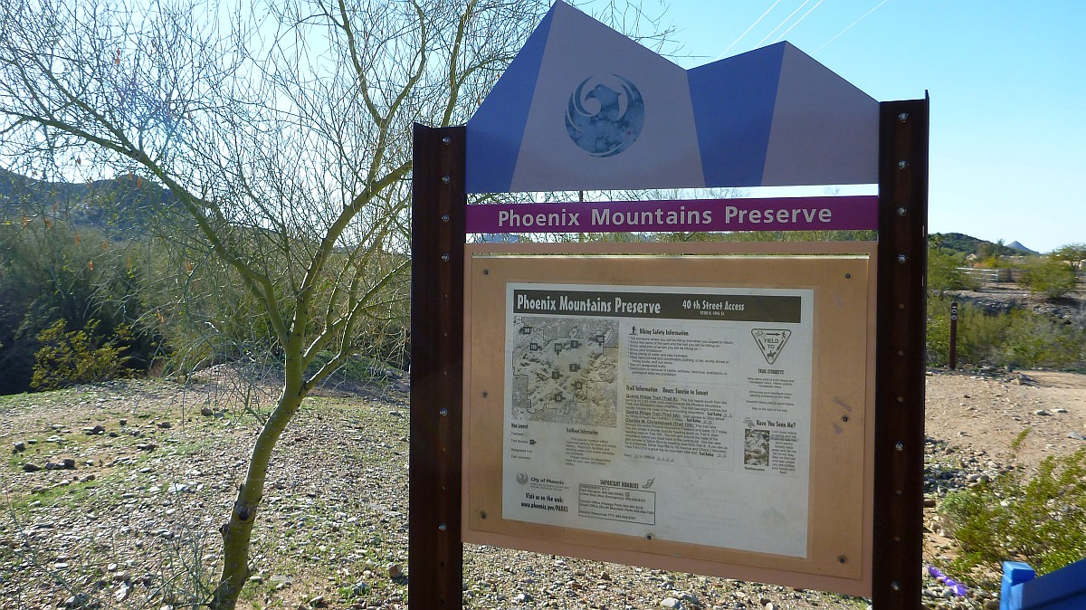
Here is the entrance sign to the Phoenix Mountains Preserve Trail Head at the end of 40th Street
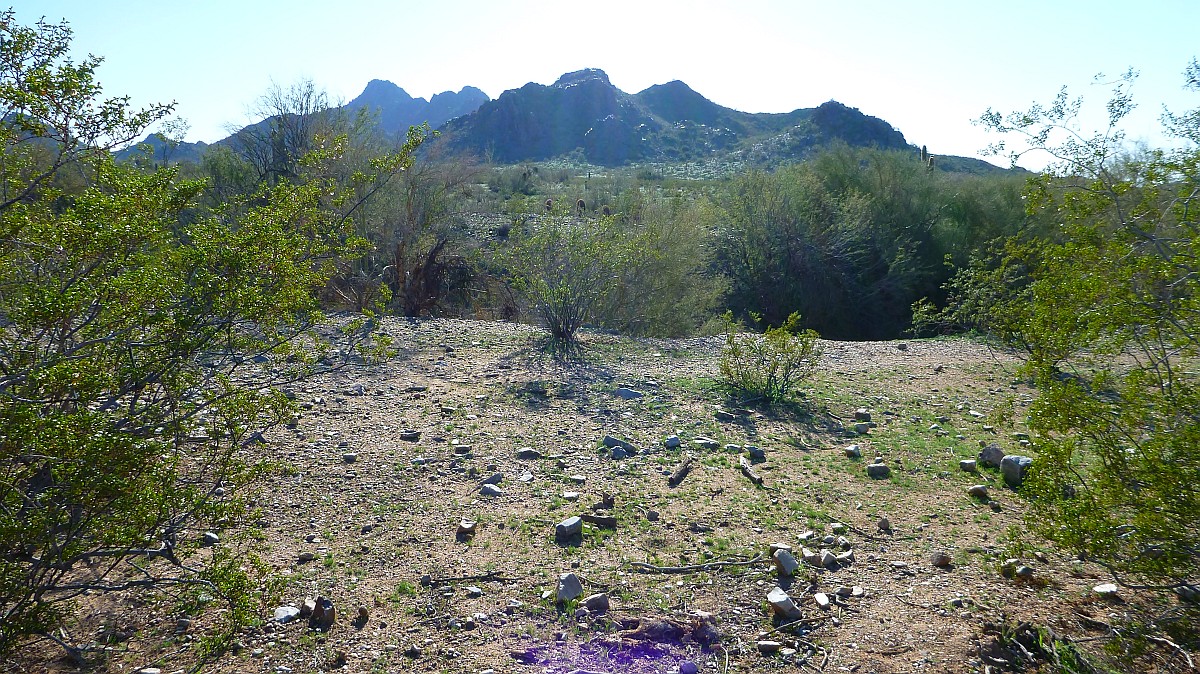
View looking Southwest toward Piestewa Peak from the trail head
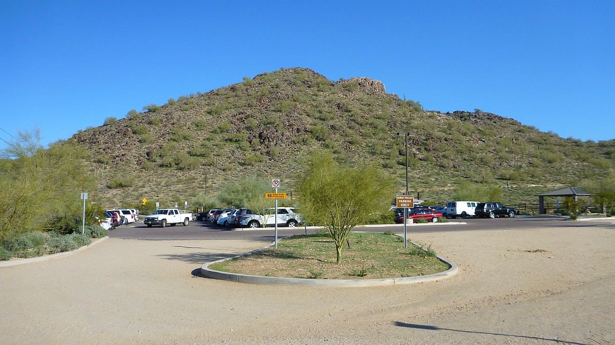
View looking East from the trail head parking lot
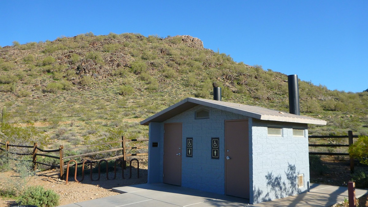
This trail head has restrooms and water
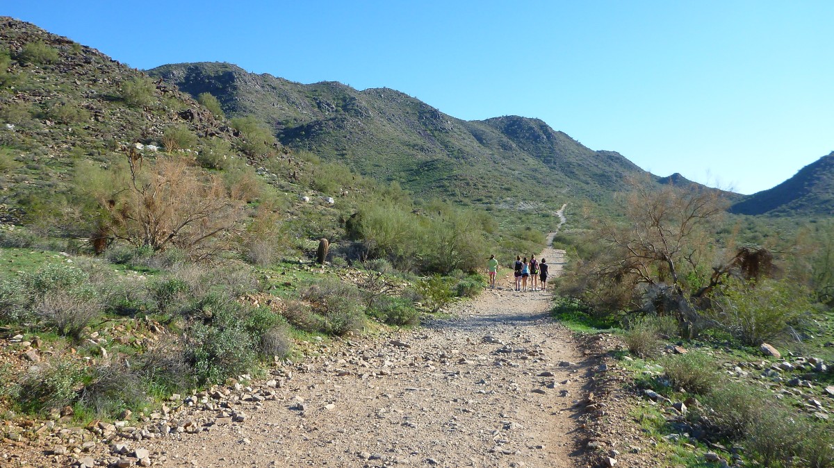
This is the actual start of the trail which starts East and then turns South

View looking back at the parking lot from the start of the trail
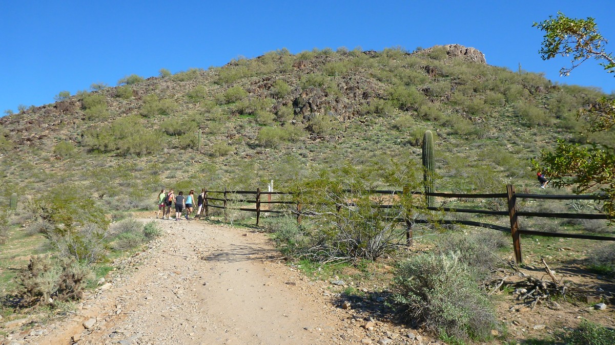
The first half mile is a fairly wide dirt road with gradual incline to the base of the mountain
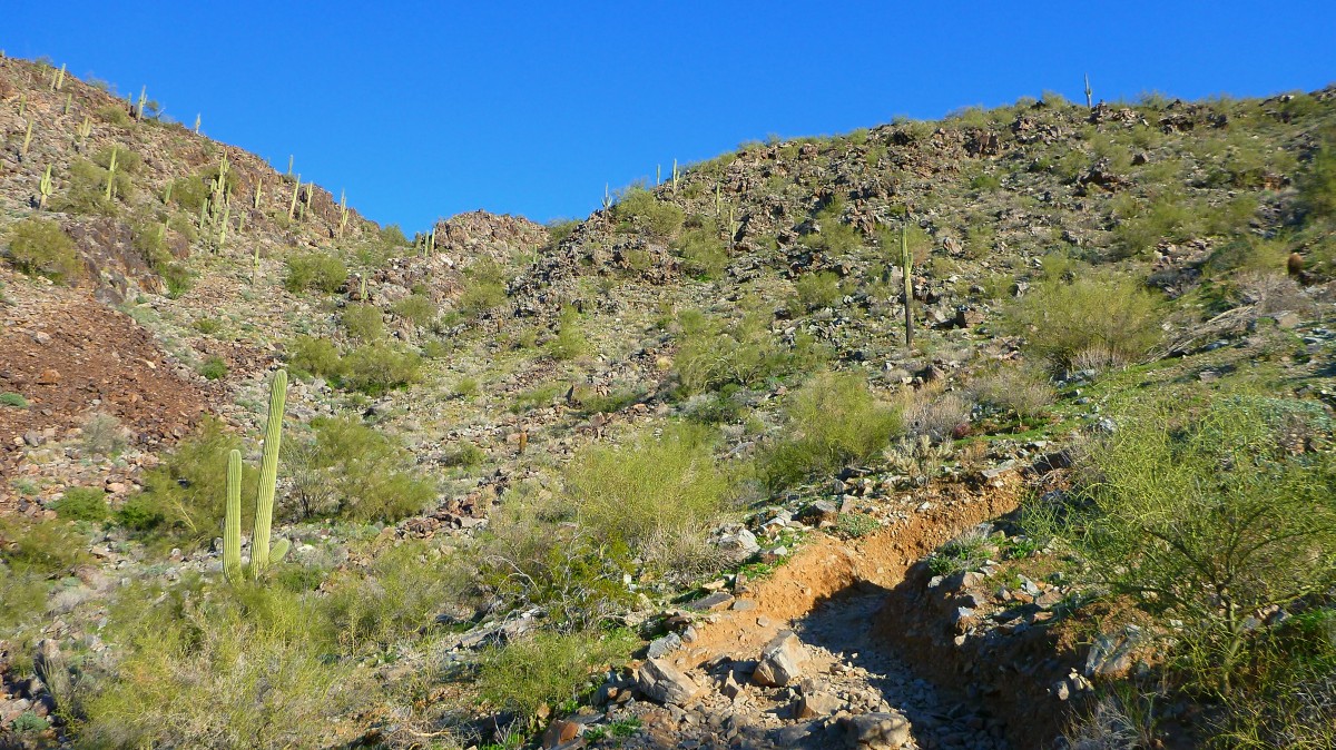
The gets a lot rougher after half a mile
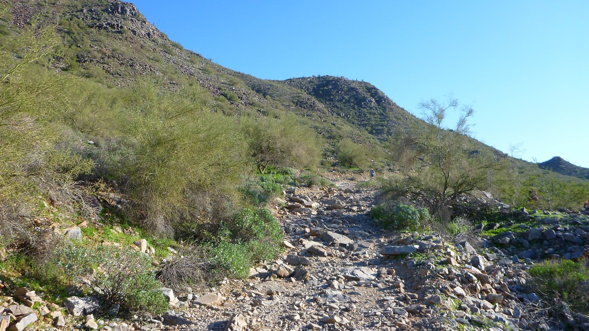
View looking Northwest from the trail near the base of the mountain.
There is the peak I am heading towards as the trail now gets much steeper
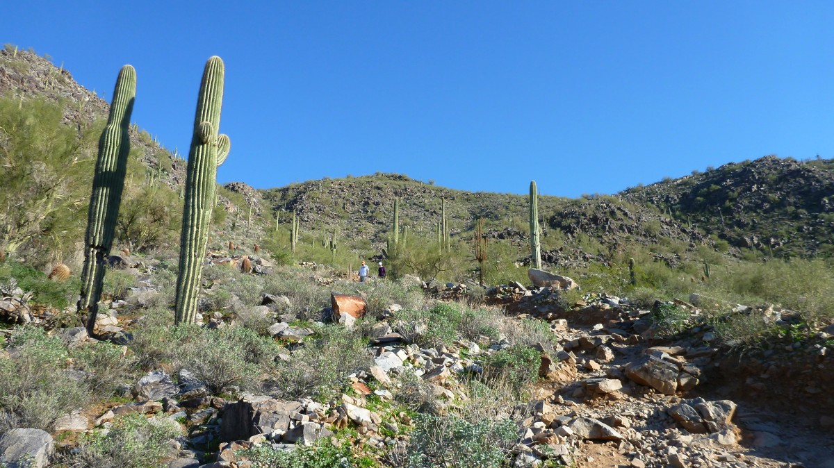
The trail here is not an officially maintained city trail. So it is very rough and unmarked.
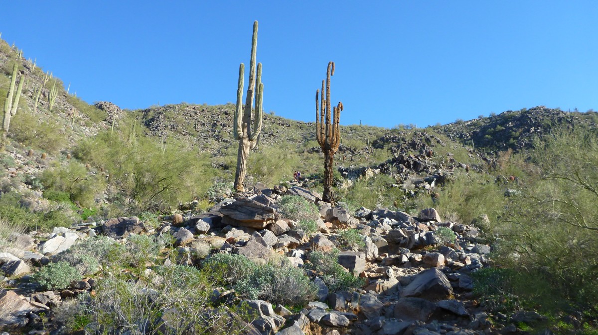
The trail goes between these two big saguaro. The dead on on the right will be falling soon.
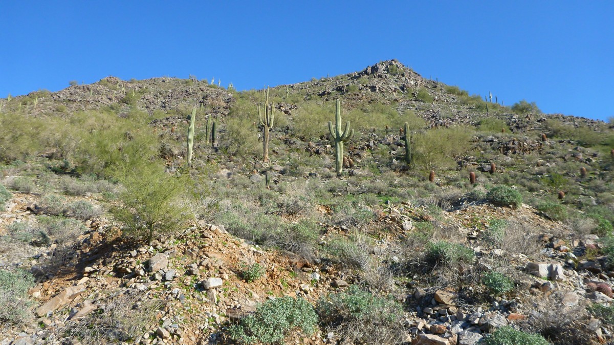
This is the view looking up at the peak from about half way up.
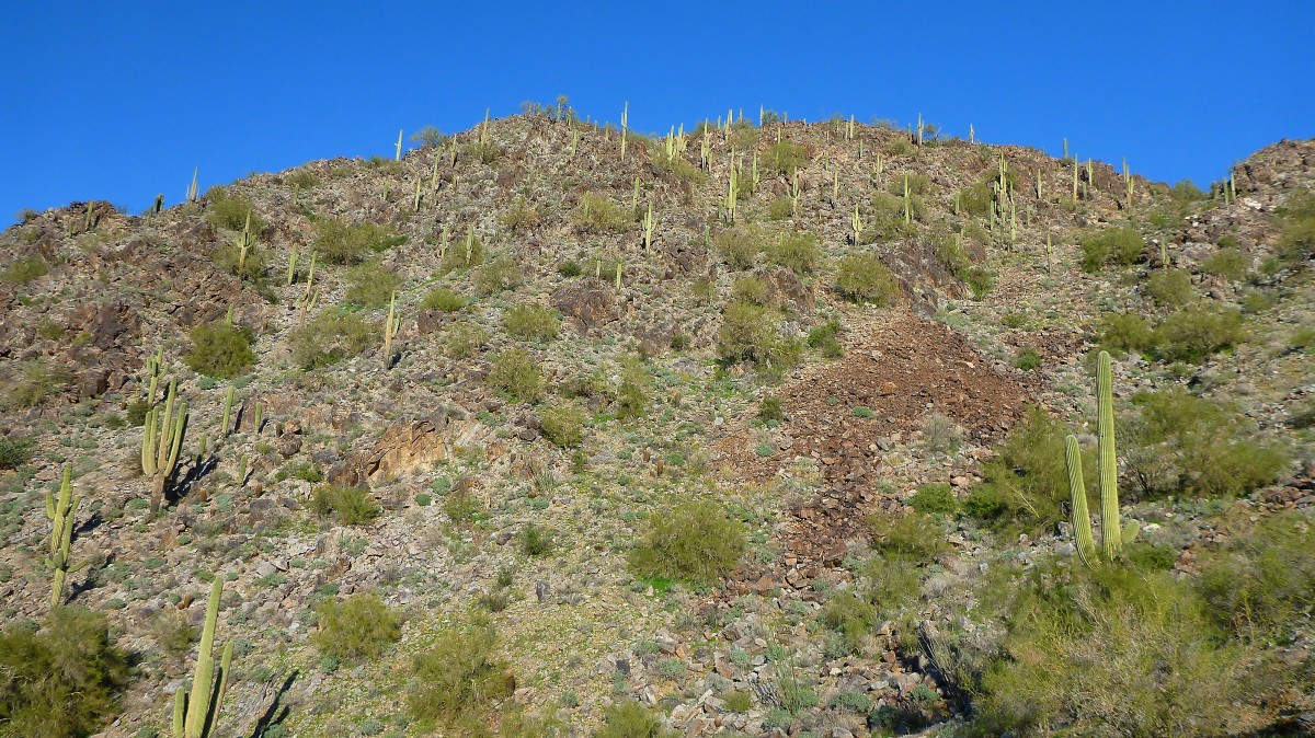
Plenty of saguaro cacti are lined up along the mountain ridge.
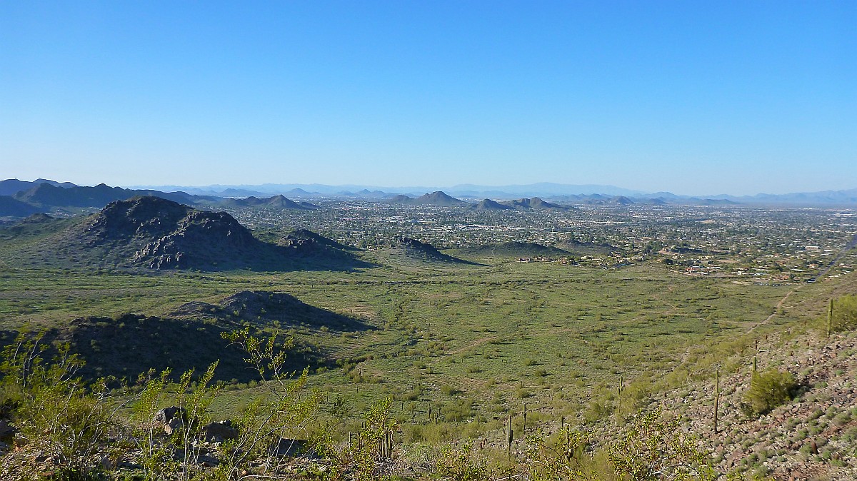
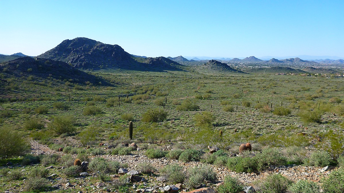
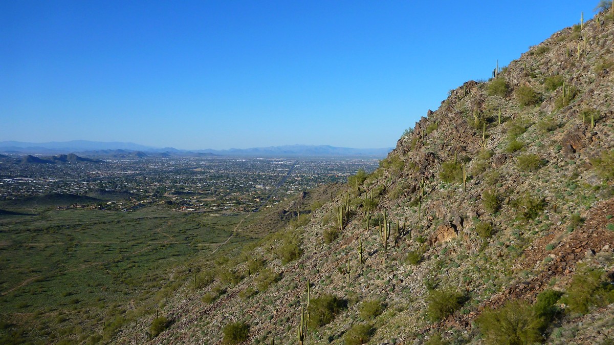
View of North Phoenix looking Northeast from half way up
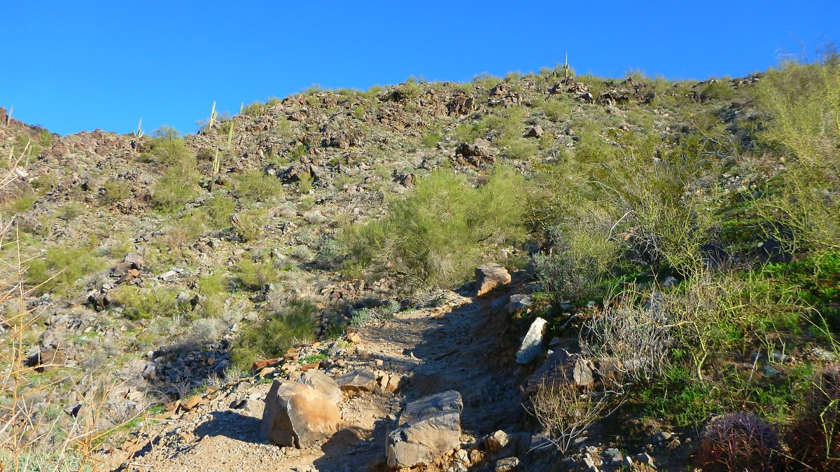
The trail is much steeper and rugged as you get closer to the top
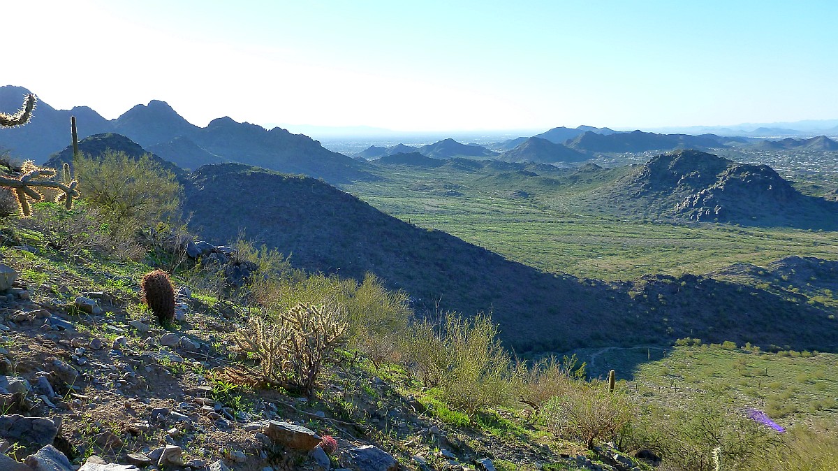
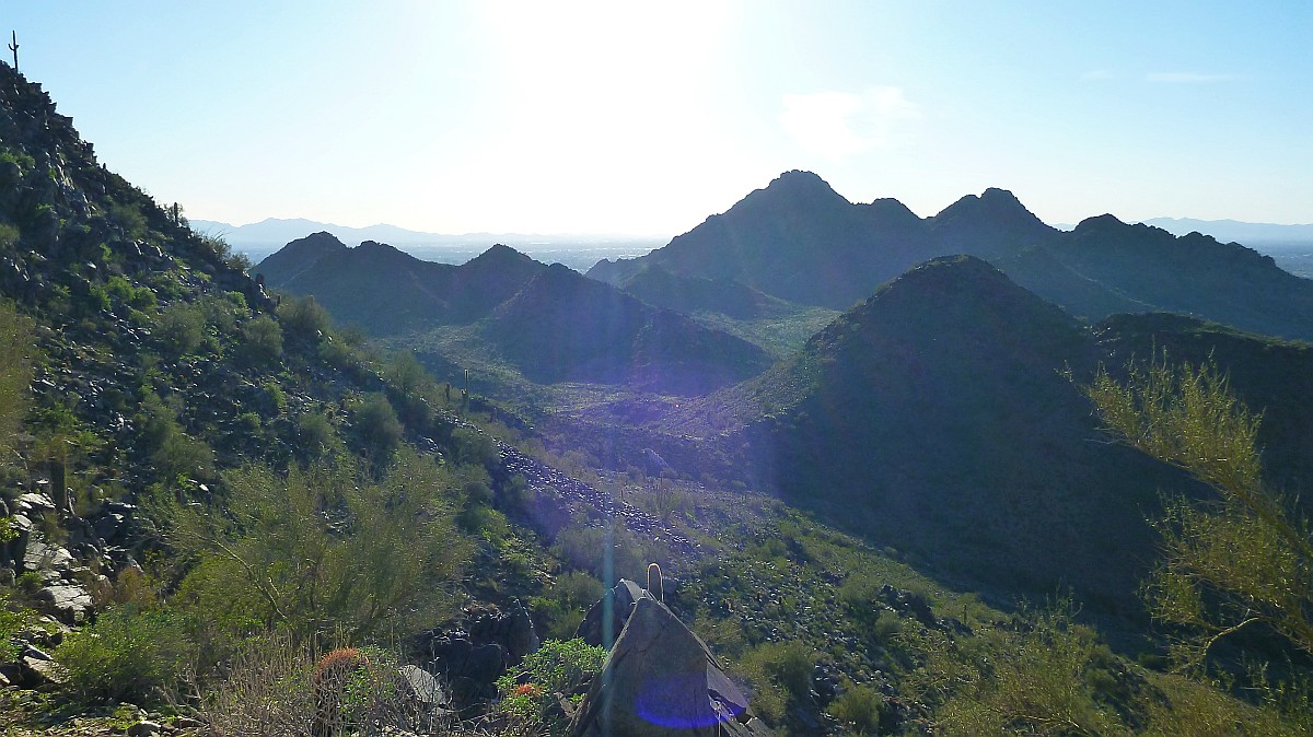
View looking West toward Piestewa Peak on the far left.
View looking North at 40th street in the distance
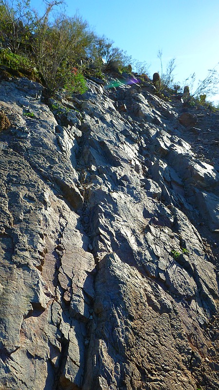
This is the actual "trail" as you get closer to the top. Very rugged and easy to twist an ankle.
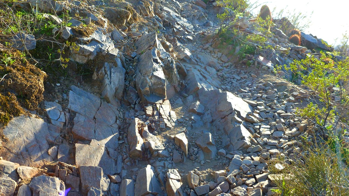
Another view of the rugged trail as you get closer to the top ridge.
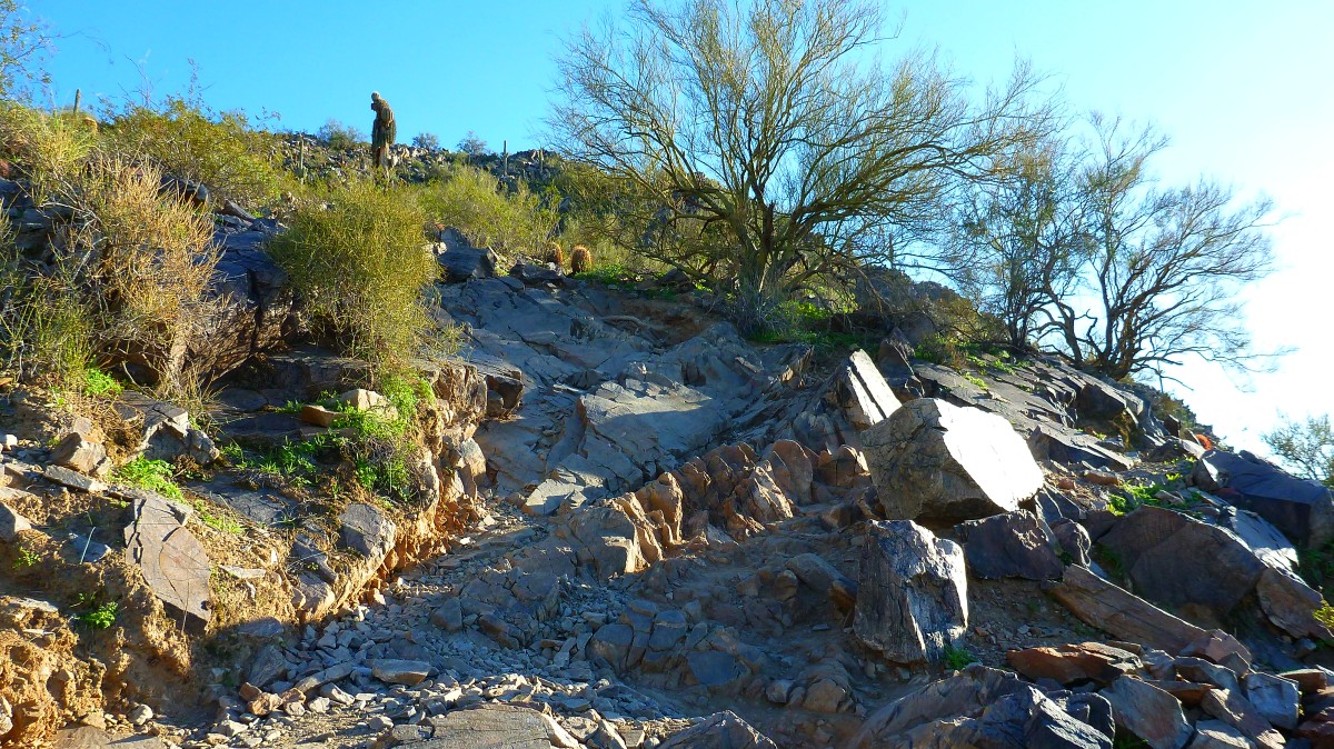
This is how the trail looks as you get close to the tip ridge.
View into the sun of Piestewa Peak to the West